Posts in Beginner Hike
The shorty's adventures on the Routeburn Track

The Queenstown CBD was pretty deserted on the morning of day one. It seemed like only trampers and tradies were awake before 8am. Katri and I grabbed a quick coffee and breakfast at the Ferg Cafe, right next door to the famous Fergburger. Our shuttle meeting point was just across the road, so I had enough time to enjoy my first coffee of the day.

The drive to Glenorchy was beautiful - I felt like a wide-eyed kid in a candy store. Unfortunately, I was sitting on the wrong side of the van to take any decent shots. We had a quick toilet and coffee stop in Glenorchy before taking the gravel road to Mount Aspiring National Park, where Katri and I would start day one at The Shelter. Routeburn is the only Great Walk that crosses two national parks - Mount Aspiring and Fiordland.

Read More
Explore the breathtaking Mount Tarawera with Kaitiaki Adventures

“We have a saying on this tour - it’s easier to stop than to mop!” Everyone in the van burst out laughing. The van had reached the start of the 4WD track on our guided tour to Mount Tarawera and Dan, our guide, was letting us know that it would be a bumpy 30 minutes ahead of us. He wasn’t joking, but luckily no one gave him a reason to bring out his mop on our tour.

I had wanted to do the guided walking tour on Mount Tarawera with Kaitiaki Adventures for a while now. After months of procrastination, I found myself booking on the Friday morning (I booked through bookme.co.nz) and just like that, I was climbing a volcano the following afternoon. There were seven of us on the tour with a couple of guides, Dan K (our main guide and driver) and Jordie aka Wade - he was so new they didn’t have time to get him a shirt with his name yet.

The van picked up three of us from the car park on Hemo Road and made our way to Ash Pit campground to pick up the last couple. It turns out they lived just down the road and after four years of waking up to the mighty maunga/mountain, they finally decided to climb it. Even though I spent most of the drive talking to them, I actually forgot to ask them their names! They were originally from Auckland and were originally looking to retire in Taupō, but luck would have it that their property popped up on the market and they haven’t looked back since.

Read More
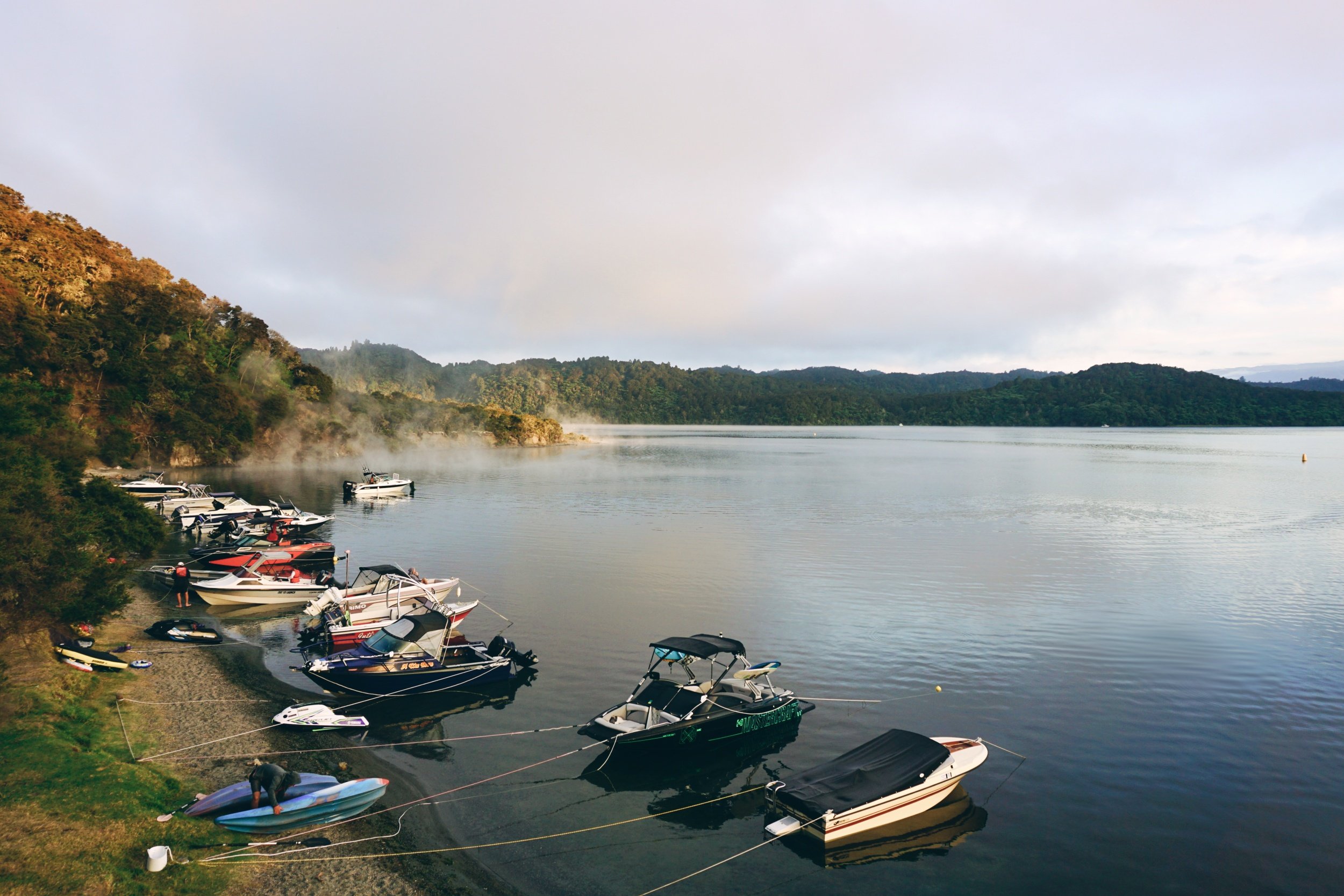
Walking the Tarawera Trail and camping at Hot Water Beach

Usually, I like to go somewhere remote on long weekends, you know, to get away from the crowds. This time I decided to stay closer to home and walk the Tarawera Trail instead, adding a night’s camping at Te Rata Bay (Hot Water Beach). I had walked the trail before, the first time back in 2019. It was a humid and scorcher of a summer’s day - pretty much like this one.

A couple of days before, I made a last minute decision to join the Pinoy Adventurers NZ group on the trail. The last tramp I did with them was the Tongariro Alpine Crossing last winter. Unfortunately, 6:30am meeting time at Te Wairoa car park was too early for me (as I was driving from Whakatāne that morning), so I let them know I would be starting later and hoped to catch up with them along the track. That was a good decision in the end since I was the only one walking with a pack. It took me 5.5 hours to walk the 13.5km trail, and they got there an hour before me.

Read More
North-South Track (Part 3): Poupou Stream to Motutapere Hut

I must have been tramping at least six hours by this stage, and exhaustion was starting to set in. The track heads back into the bush for a bit with plenty more stream crossings, which was lucky because I was getting low on water. After the bush section I came onto the exposed ridge, greeted once again by thick fog. I had to laugh at how comical it must have looked to see my head bobbing along the long grass - it was like an emo version of the Sound of Music. Some of the blue markers got trickier to spot, but I just put that down to the fog and being vertically challenged. I bet this would have had stunning views in better weather.

It was between the Kauritatahi Hut junction and Motutapere Hut that I really struggled. A section that should only really have taken about an hour, took me almost two. The rain had made the narrow and rooty track much harder going than it really should have. That’s the reality of solo tramping - when you tackle a track, you have to know the limits of your mental fortitude, not just your physical ability. What got me out of my head was seeing a buck run off down the hill - there was just something about it that gave me the energy for the final push to the hut.

I arrived at the hut around 8pm, around 10 hours since I set off from Poupou Stream. Two long days in a row had started to take a toll on my knees. The swelling from the day before was only getting worse, but fortunately still no cramps. I spotted the fireplace and there was plenty of firewood, but decided it wasn’t cold enough so I didn’t light it in the end.

Read More
Moerangi Hut in Te Whirinaki Pua-a-Tāne

Nothing like a last-minute hut mission to make a Friday at work go that much faster. There was pretty good weather within three-hours drive in any direction, but I also wanted to spend the night in a hut. Moerangi Hut was a good option for an overnighter because Whirinaki Te Pua-a-Tāne is only 1.5 hours drive from Whakatāne (from River Road car park), walking in was less than five hours and there were no stream crossings. I’m planning a five day mission in Whirinaki over my Christmas break, so I decided to save Mangamate Hut for another day.

I parked my car at River Road for the night. I’ve heard mixed stories about car safety but personally, I’ve never had issues leaving my car overnight. If you’re going for longer then organise a drop off and pick up. Walking to the hut took me 5.5 hours (DoC estimate is 4.5 hours) and walking out was under five.

From the car park, it’s pretty flat as you walk through the iconic giant podocarps that the Whirinaki are renowned for. With the beautiful weather that weekend, I was surprised to have the track to myself until later that afternoon. Walk through Te Whaiti Nui a Toi canyon until you get to the junction for the falls loop track, Mangamate, Central Whirinaki and Moerangi Huts. If you want to see the Whirinaki Falls before heading to the hut, walk the falls loop track counterclockwise (look for the sign before the canyon) and it will take you back to this junction. Be aware it will add another two hours to your tramping time.

Read More
Rapurapu Kauri Track in the Kaimai-Mamaku Forest

I’ve been ticking off a lot of the day hikes in the Kaimai-Mamaku Forest and the Rapurapu Kauri Track was the perfect kind of chill hike to get me out of my recent funk. Normally, I like to hike at least a couple of hours for each hour I’m in the car - I guess this one was the exception. I figured I could make a day of it and grab a late lunch on the way home.

The start of the track is along SH 29, it’s not signposted, but easy enough to find if you Google ‘Rapurapu Kauri Track’ like I did. Even though the turn off to the car park isn’t signposted, there is an official DoC (Department of Conservation) sign on the fence at the start of the trail. You’ll walk through a grass track and a wide gauntlet of gorse for about 10 minutes before you reach the bush edge.

I had recently joined the Kaimai Track and Hut Users Facebook group page before going on this hike, and if you use Facebook, I highly recommend it. We had had a storm a few days before and someone posted photos of large windfalls from that morning. It was still passable, but it’s always good to know what you’re up against. The same was said about the water levels - it was high enough that you were definitely going to get wet feet, but not enough to make stream crossings dangerous.

Read More