Discover Our Local: Hiking the Mt. Tawhiuau track

How to get to the trailhead
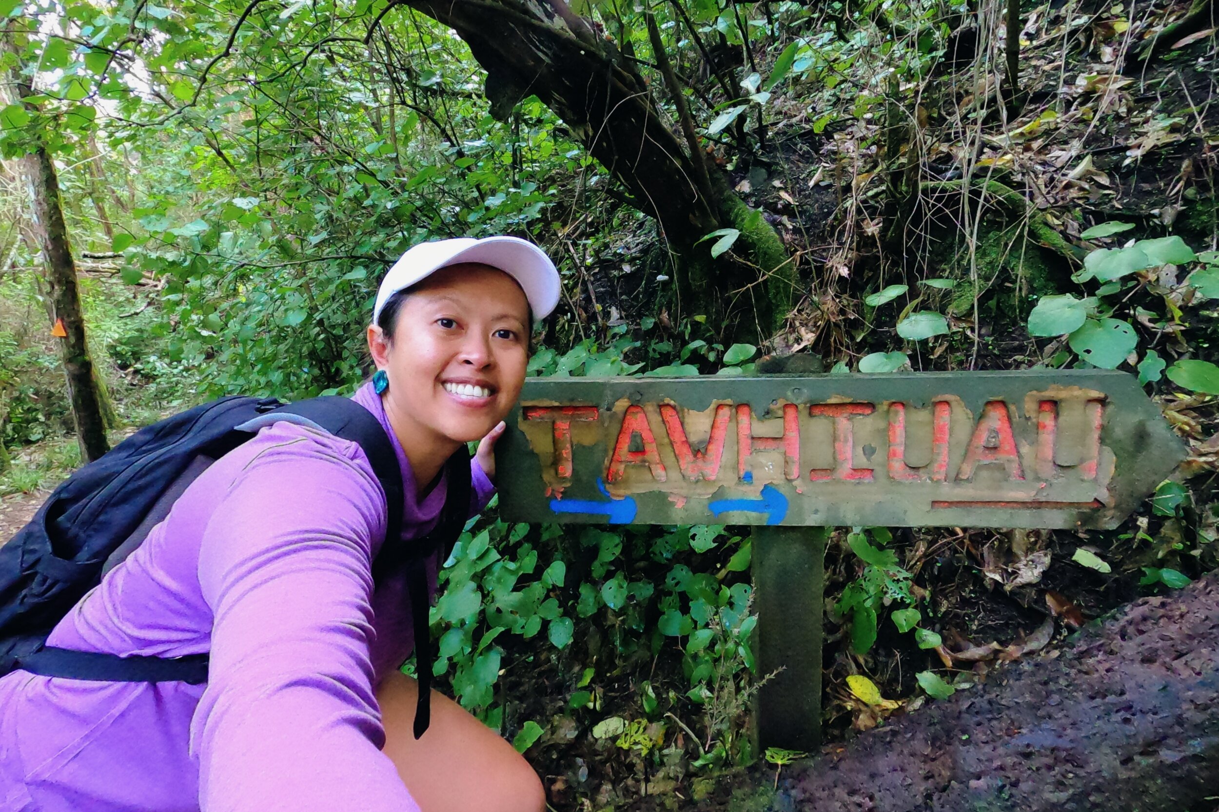
Google Maps: 526 Troutbeck Road, Galatea. As you drive down Troutbeck Road, look out for the Mangamate Stream bridge - after the bridge you’ll see two driveways on the left. Take the left gravel road, as the driveway nearest the mailbox belongs to the house. The parking area is at the end of the gravel - keep an eye out for potholes! The start of the track is across the river - there are a couple of wooden markers that will lead you to a sign that says ‘Tawhiuau’. Go left for the foothills track, or straight up to the trig.
It took me 2.5 hours to get to the trig (this was the weekend after we came out of lockdown so my fitness was pretty crap), and it took me about the same amount of time to come down. The trig is 1,017m with an elevation gain of over 700m at just under 9km, it was hard yakka for sure!

Thank you for this plank - saved me from have to cross the stream.
I met a trail runner at the trig - thank goodness he came after I had had time to catch my breath, because I was a damn mess! Like, how the f@#* do people run up tracks like Mt. Tawhiuau and not die? Are you even human? My quads took two days just to be able to sit on the toilet again without feeling like I’d just finished a killer squat session. It was my first hike after almost a month in lockdown, so it wasn’t surprising that my fitness levels were pretty low.
Hiking up Mt. Tawhiuau the weekend after coming out of lockdown was probably quite ambitious on my part, but hey, I survived. The track to the trig is approx. 9km with an elevation gain of over 700m, so I knew it would be hard yakka anyway. I was very happy with my decision to bring my hiking poles, especially on the way down.
The trailhead is across a gentle flowing stream, about shin deep. I did smile when I saw the wooden plank, obviously it was used regularly enough to put it there. Once you’re across the stream, follow the wooden markers into the bush until you see the ‘Tawhiuau’ sign. Go left for the foothills track, or straight up to the trig.

A nice spot to catch your breath - you can also see a waterfall in the distance.
From here, the track follows the river into the bush. It goes straight for about 15 mins until you cross the wooden bridge. This is the only water source on the crack, which came in handy on my way back. There are a lot of roots and uneven footing, and at times I found it easier to put away the poles so I could use my hands to help me climb some pretty steep sections. Some sections are very narrow, so watch your footing as the drop offs are quite steep.
After about half an hour, you’ll be rewarded with a waterfall lookout. In my research for the track and blog, I came across a blog post about how Galatea was a Canyoner’s dream, yet not many people have really explored it. I did see a few more waterfalls further up the track, all more spectacular than the last.
About 15 mins from the lookout, I came across these picnic tables. I know what you’re thinking, those are pretty chunky tables, who would want to haul all that equipment up a steep mountain track? My workmate told me that it was gifted by a local who owned a helicopter company - it was his 60th birthday. Climbing the mountain became part of rugby training in their younger years, and decades later they made it a tradition to return once a year with their families. It was a great spot to catch my breath on the way down and enjoy the last of my cheese and crackers.
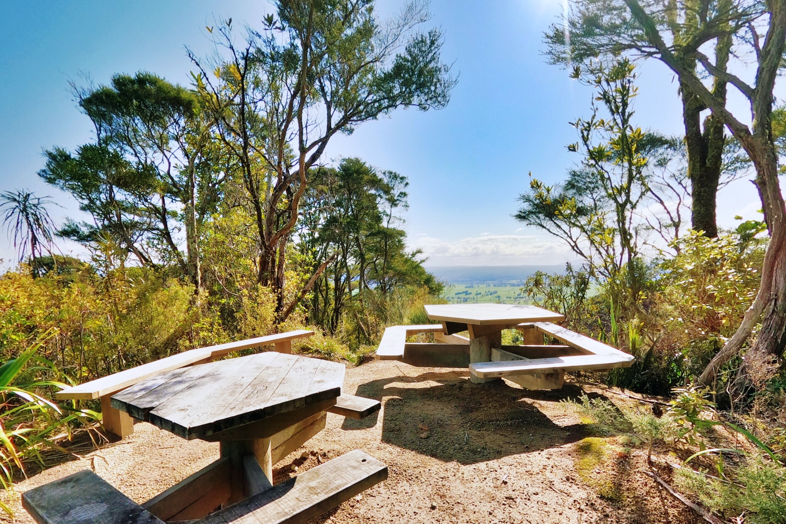
A quarter of the way up the track, I came across these tables with a fantastic view of valley.
After you slowly come down from the euphoria of that beautiful view, you might be able to stretch that enthusiasm as you get to catch your breath along a flat, lush section of the track. Then you see it, a crudely spray painted tree that says, “You’re halfway”. After all that, I had only walked 4.5km?
I can’t remember exactly when the orange triangles stopped and the red and blue paint markers took over, but it must have been well before that tree. I can tell that it’s popular with trail runners at the size and frequency of the paint - there was paint on the trees, paint on some ferns, and even paint on tree stumps. I saw a significant increase in roots and wind fall on this section of the track, and I’m always grateful for those who take time to put in markers.

Catching my breath after climbing up this section, a small victory knowing I would be walking back down later.

They weren’t playing when they said you’re only halfway…
After seeing the halfway tree, I felt deflated. I was tired and it felt like the trig was nowhere in sight. As I approached the top of yet another steep section, I would get excited as the sunlight was bursting through the trees. Time and time again it just revealed yet another steep section and I was seriously wondering if I had it in me to make it to the trig. I had been climbing for about two hours and that’s when I decided to stop psyching myself out and just focus instead on each step. It would take me as long as I needed, and as long as I kept going, I would eventually make it to the trig.
The trig did kind of pop out of nowhere, and the view of the Galatea valley in the sunshine was pretty mint. I had been alone throughout my hike so I got a big fright when he said hi. He was training for the King of the Mountain race, which takes place at Mt. Pūtauaki (Mt. Edgecumbe) in Kawerau. I asked him how long it took him to run up - it took just 46 mins! I’ll just stay in my lane...damn, he was cute too. After a couple of minutes of small talk, he was gone.
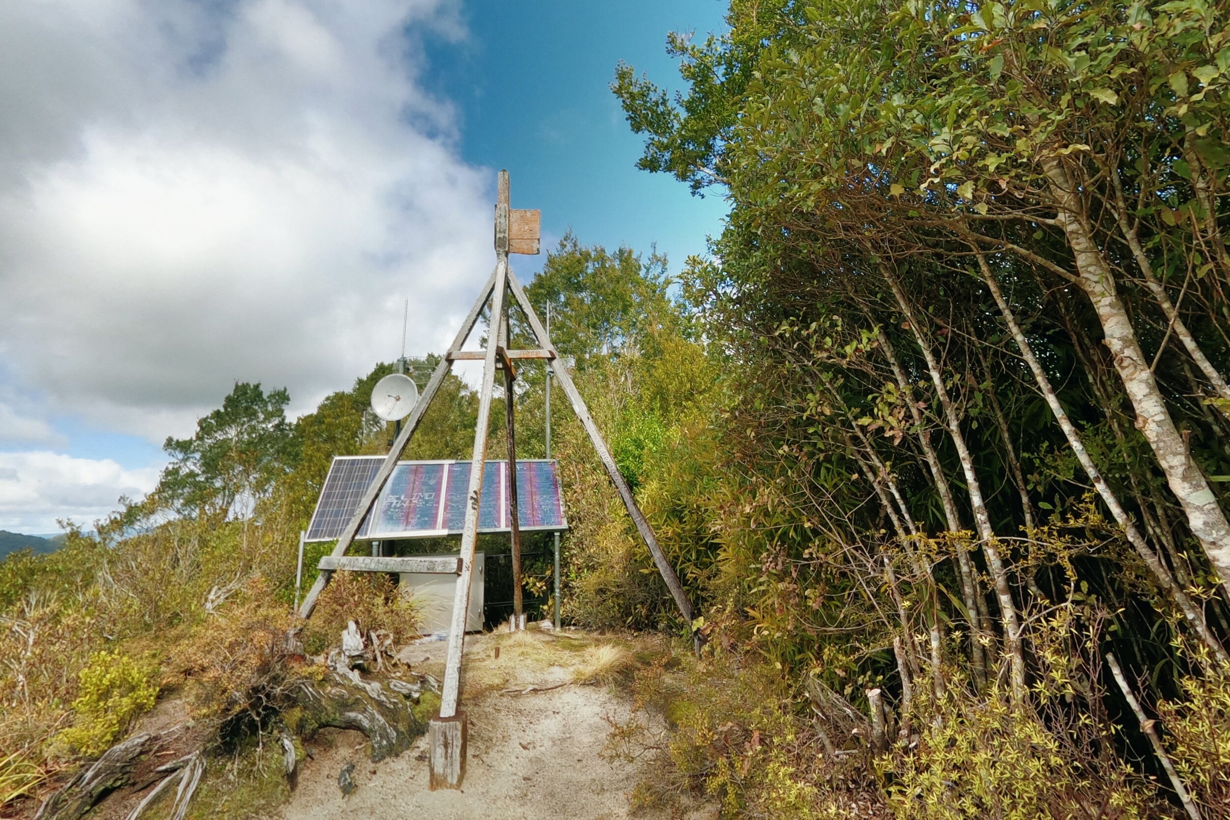
Mt. Tawhiuau trig.
Walking down was painfully slow and I could feel cramps creeping in. I took it slow and focused on getting to the halfway tree. Ironically, I actually walked past it and didn’t even notice, and was surprised when I suddenly found myself at the tables. I ate the last of my cheese and crackers and took the time to enjoy the view. I was also happy because it meant I was less than an hour from the car park.
I stopped at the stream to top up my water bottle so that I had some for the drive home. My legs weren’t as wobbly as before, and the extra water gave me a boost to push through. The afternoon sun was warm and the breeze had died down by the time I got back to my car. I drove slowly along the gravel road with a big smile on my face - man, what an adventure! It was a tough hike, no doubt, but there’s something so energising in doing hard things and pushing through it. Thanks for a great day out Mt. Tawhiuau, see you again soon.

fivefootronna is Ronna Grace Funtelar - a thirtyish adventurer, graphic designer and writer. A woman with a curious mind who lives for hiking mountains, outdoor adventures and eating pizza. She has a unique brand of optimism that is a combination of her great enthusiasm for life and cups of coffee during the day.