Ōhineteraraku Scenic Reserve
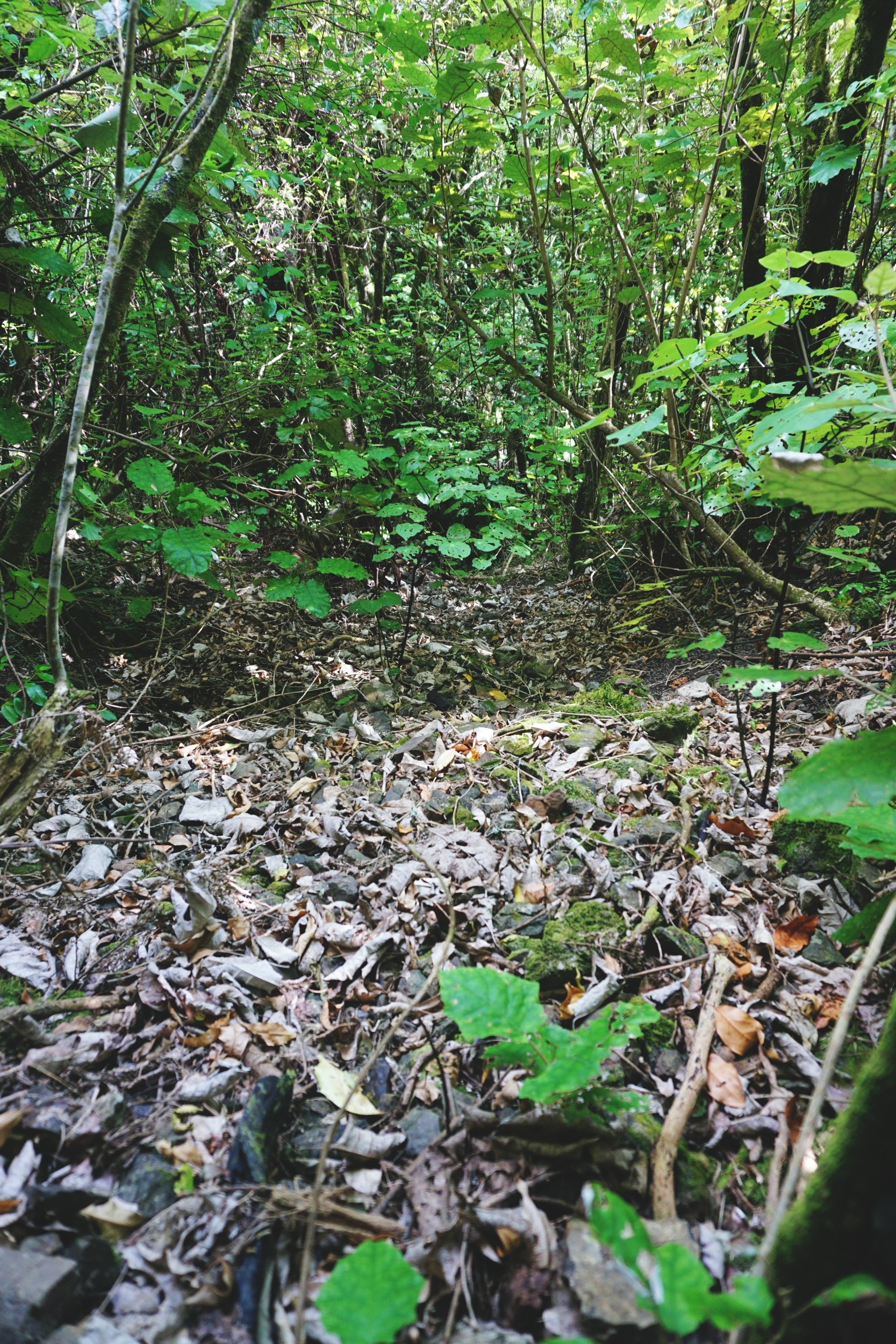
The scenic reserve is currently overgrown with windfalls and well-established blackberry. There are no established tracks in the reserve - we found access to the stream through bush bashing (and a whole lot of swearing). It is open to the public, but take your own fitness and bush experience into consideration before going into the reserve. I will update this blog in the future if the reserve conditions change.
Ōhineteraraku Scenic Reserve is a little known scenic reserve on Taneātua Road, less than 10 minutes outside of Whakatāne. The reserve is named after the stream that flows on the northern section of three land parcels.
It’s been a bit of an obsession for me these last three weeks, and I’ve gone exploring every weekend since. How did I find out about it? Like other locals, I didn’t even know the scenic reserve existed until a conversation with a workmate. We’ve known each other for years, but it was these last couple of months through lunchtime chats that I discovered our mutual love of travel and exploring the great outdoors.

The long grass on the front section has been mowed since I came three weeks ago.
The places I’m used to tramping in have established tracks, even if they aren’t well maintained - rarely do I go anywhere without some sort of information online about track conditions. Ōhineteraraku currently doesn't have any tracks (plenty of goat and deer trails though), and certainly the graffiti on the reserve sign doesn’t make it all that inviting either. A quick call to our local DoC office confirmed that it was open to the public, but they did warn me about the overgrown conditions and possible hazards. They also told me about a waterfall, approx. 500m upstream.

Blackberries are well-established in the reserve.
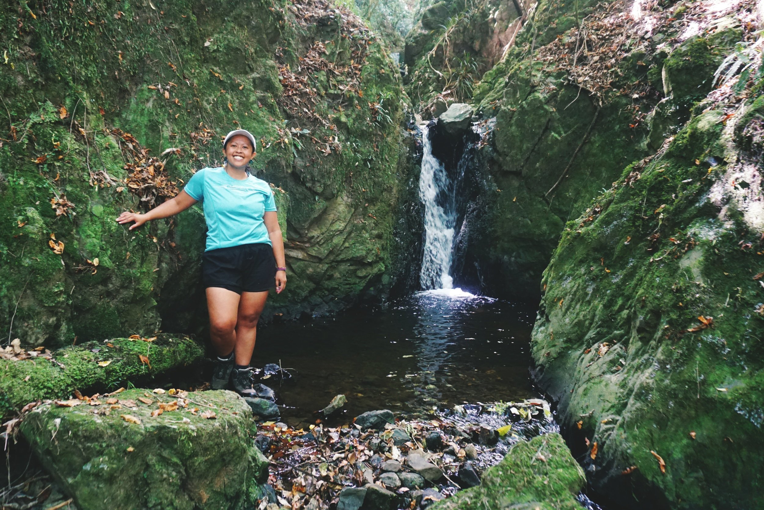
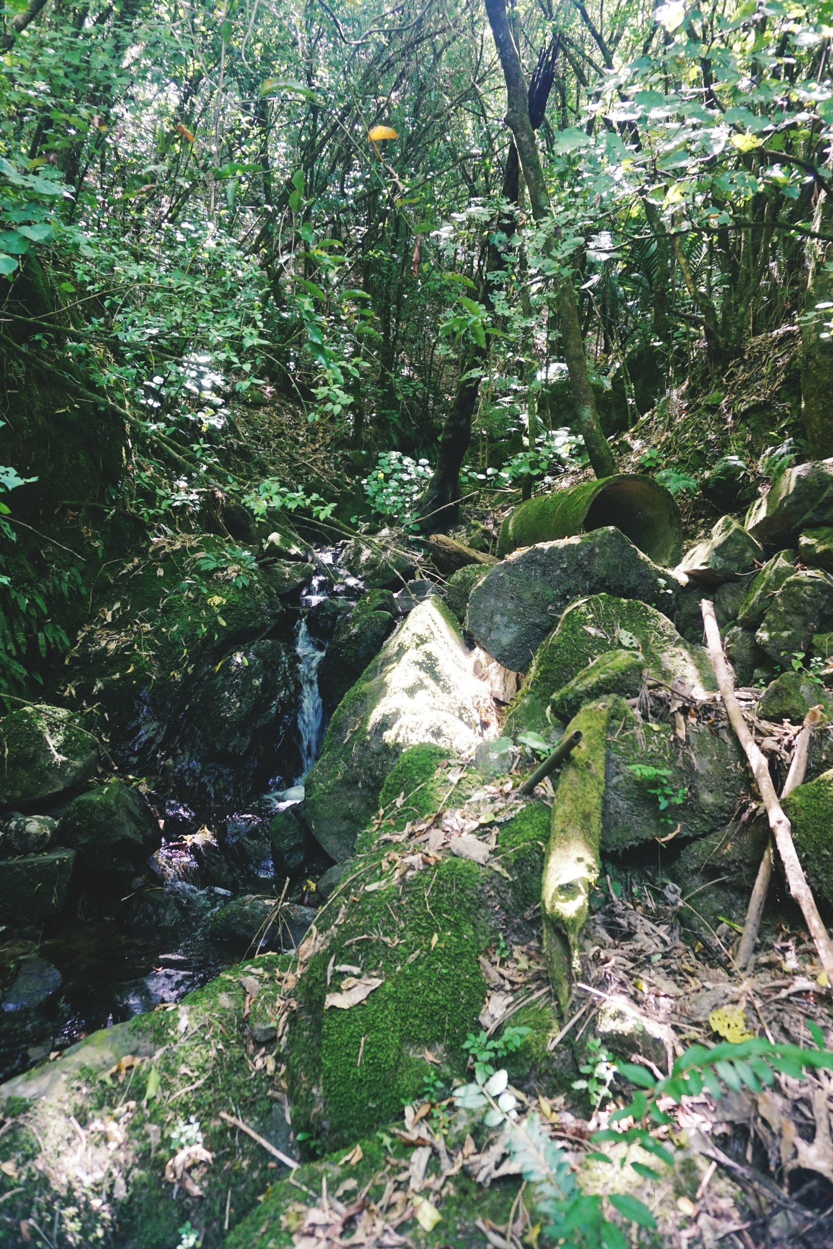
I’ve walked up the stream twice now, the first time with my friend Jane, who also lives just down the road and once on my own. The water levels are very low at this time of year, so it was easy to walk along the small boulders without getting your feet wet. It took about 15 mins to get 250m to a small waterfall. The stream has scatterings of concrete pipes, metal beams and rubber piping. We even found an old rusted chassis. That lead me to believe that for a time, a decent section of the reserve was more accessible than it is now.

My friend Jane, she also lives just down the road.
As the water levels are low, it was easy to walk along the stream.
On my second visit, I came with my workmate Zoe, who turns out is a bit of a goat. Instead of walking along the stream, we headed south and up towards the ridge. Zoe led the way as we bush bashed through the overgrowth and blackberries with a not-so-sharp machete. We tried to sidle for about 30 minutes, but in that terrain, it was really tough on the knees. Even though it was hard to follow the goat trails, we still made better progress than sidling. The view at around 200m was definitely worth it.
We eventually found the boundary fence line with the neighbouring farm. From the NZTopo app, we were close to 500m upstream (as the crow flies), so we explored animal trails to see if we could find a safe place to start descending back down to the stream. Unfortunately, we made the mistake of going too high up the ridge. There was definitely a waterfall below us, but hidden within the forest canopy. After exploring a few trails that led to steep drop offs, we decided to turn back while it was still safe for us to do so.

Zoe found a nice log to wait for me as I scrambled up the hill.
The loose rock, dried leaves and vines meant the terrain had very unstable footing.
My third and last visit was a solo mission, and in a way the least productive in terms of progressing up the stream. Before I could even walk down to the stream, I came to a massive wall of fallen trees, vines and of course my nemesis, the blackberry. There had been a lot of wind recently, so it wasn’t surprising really. I managed to bash my way through it, but it wasn’t pretty, that's for sure.
Once at the stream, I could move a lot faster and easily got as far as the small waterfall Jane and I saw a couple of weeks before. The boulders on either side were moss covered mélange rock. I managed to climb halfway up (turns out my body hadn’t forgotten basic rock climbing technique), but because I didn’t know if there was a safe way for me to get down on the other side, I gingerly eased myself down and tried for the hill instead. That turned out to be a whole lot of grunt for little progress, so after an hour, I made the call to head down before I got stuck.
Having experienced the terrain myself, I can see how difficult it would be for DoC to cut a safe track for the public without significant funding. I would also question how much this could impact on the stability of the hillside as well as erosion prevention.

We could hear the stream below, loud enough to think that we had gone far enough upstream to the waterfall.
fivefootronna is Ronna Grace Funtelar - a thirtyish adventurer, graphic designer and writer. A woman with a curious mind who lives for hiking mountains, outdoor adventures and eating pizza. She has a unique brand of optimism that is a combination of her great enthusiasm for life and cups of coffee during the day.